


A Journey of CAT & STONE A

 About the Tour
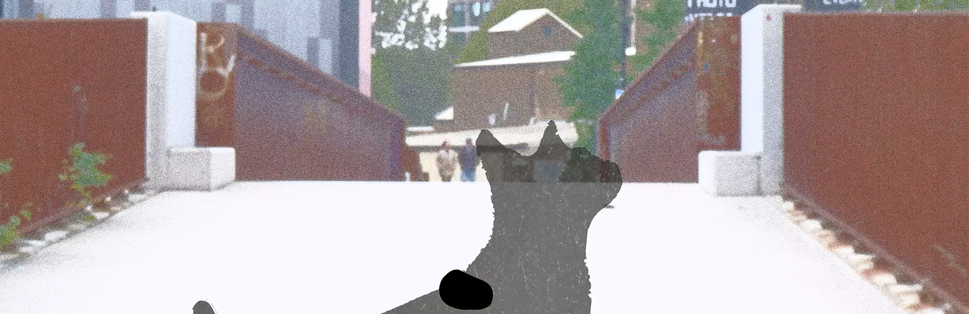
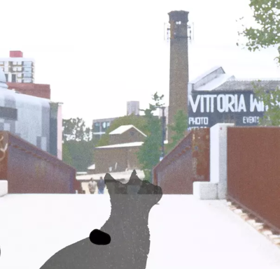
Follow the steps of Cat & stone to explore the area of Fish Island. By ‘walking’ in the routes, you will have a choice to get ideas of what is happening in the area; knowing some stories of historical buildings which used to be Victorian Warehouse. By exploring those stories, you will get clues from different things. Finally, piece them together through clues you will notice that they are related to STOUR ROAD BRIDGE (H16).
There are three routes. you can click the locations to find out what’s happening there. Don’t forget all the stories are for you to understand all the relationships with the elements of the Stour Road Bridge. But you can follow the guide or explore as you want to get the full picture.
Walk A:
By helping the Stone find her way home, you will discover three bridges and the area of Fish Island.
Tour Producer
Xiting Huang

Save with Passes
Preview Location
How VoiceMap Works


Major Landmarks
-
FISH ISLAND AREA: ROACH POINT BRIDGE MONIER RD FOOTBRIDGE STOUR ROAD BRIDGE NEAR OLYMPIC PARK AREA: LOCATIONS IN MARSHGATE LN
Getting There
Route Overview
-
Start location1 Marshgate Ln, London E20 2AA, UK
-
Total distance993m
-
Final locationBeachy Rd, Fish Island, London E3 2PA, UK
-
Distance back to start location109.14m
Directions to Starting Point
The nearest starting points:
Bus:
Bobby Moore Academy Primary
Overground:
Hackney Wick
Tips
Places to stop along the way
Restaurants are mainly clustered near the White Post Ln
Best time of day
Daytime
Precautions
- Wireless network (WI-FI) is required
- It is best to have headphones
- Better to have an umbrella or a bottle of water
- Be safe near rivers
Get The App