





Drive PA Indian Paths: Forks of the Ohio to Logstown




 Buy for a Group
 Reviews
 About the Tour
 About the Tour
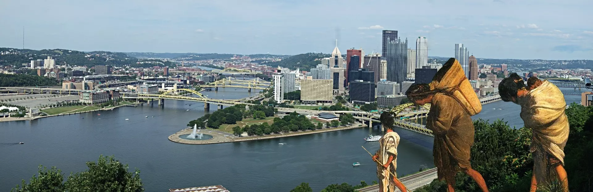
The Pittsburgh area sits at a crossroads that shaped North American history. On this driving tour, you'll follow the Great Path – an ancient trail network connecting the Eastern Seaboard to Detroit – tracing the Ohio River from the Forks to the Indian trading village of Logstown. You'll also hear how Indigenous nations, French and British colonizers, and frontier figures like George Washington and Meriwether Lewis all collided along this same stretch of riverbank.
The tour starts at the Duquesne Incline overlooking the Forks of the Ohio, where Fort Duquesne and Fort Pitt once stood as rival colonial outposts. You'll drive along Route 65, the modern road laid over those ancient paths, passing Brunot's Island – where Lewis held his bon voyage party before the Corps of Discovery set off – and pulling over at McKees Rocks to learn about a 2,500-year-old burial mound that was dug up, argued over, and ultimately lost to quarrying.
Along the way, you'll stop at Riverside Park to hear Charles Dickens describe this same river in 1842, just two generations after Indians were forced out. You'll also hear a Lenape teaching story about what happens when humans stop respecting animals, and learn how wolves – revered by Indigenous peoples and despised by settlers – shaped the ecology and culture of this landscape. The tour ends at Logstown, the fur-trading hub where Seneca chiefs held court, French traders built log houses, and George Washington came repeatedly to court Native alliances.
On this 60-minute tour, you'll have a chance to:
- Hear how Fort Duquesne was blown up by the French themselves as 6,000 British troops approached
- Learn the story of Sattelihu, the trusted interpreter who envisioned a Pennsylvania blending European and Indian cultures
- Discover how Neville Island went from Indigenous territory to asparagus farms to WWII landing craft production
- Find out why colonists refused to believe Indians built the Ohio Valley's massive earthen mounds
- Walk the bank of the Ohio as Dickens described it – a wilderness of fallen trees and deep solitudes
This tour brings forgotten voices back to roads you may have driven a hundred times without knowing what lay beneath them.
Tour Producer
 Tour Producer

Leon J. Pollom

I am a writer/researcher of the past. Based in Pittsburgh, I once covered daily news for newspapers. Now, I cover really old news-- news that's had time to steep, and prove its significance.
You can check out my website at https://www.NowThenPgh.com
Save with Pittsburgh, Pennsylvania audio tour passes
How do passes work?

Preview Location
 Preview Location
Location 1
Start - Forks of the Ohio
The journey continues. My name is Leon.
I created this tour as part of a statewide service to tell forgotten or little-known stories of Pennsylvania Indian trails as we travel the modern roads built atop them.
You will hear the stories told by me and other...
 View locations and route

How VoiceMap Works





Major Landmarks
 Major Landmarks
-
Duquesne Incline
-
Fort Pitt Museum

-
Former Historical Site of Indian Mound
-
Old Economy Village Visitor Center
Getting There
 Getting There
Route Overview
-
Start location1399-1197 Lincoln Hwy, Pittsburgh, PA 15219, USA
-
Total distance37km
-
Final locationDuss Ave, Ambridge, PA 15003, USA
-
Distance back to start location27km


Directions to Starting Point
Use your GPS to direct you to the Duquesne Incline parking lot, 1197 West Carson St., Pgh, PA, 15219. You won't have to pay for parking, if you stay with your vehicle during the tour introduction. You will have to pay if you opt to ride the incline while you are there.
 Show Directions

Tips
 Tips
Tips
Places to stop along the way
Duquesne Incline, Fort Pitt Museum, Old Economy Village.
Best time of day
Traffic is not an issue along the tour, but it can be a problem getting to and from the tour route during peak commuting hours. On work days, it is best to begin after 10 a.m. and conclude before 2 p.m. Traffic is light after 6 p.m. Be sure you will have enough daylight to see the sights. Weekend traffic is only a problem during sporting events. Check appropriate websites for congestion reports.
Precautions
Please obey the rules of the road and drive safely. If you exceed posted speed limits, you may bypass Voicemap directions and information.
Get The App
 Get The App




Scan to get app
Download the app for free
VoiceMap




 App of the Day

 Editor’s Choice


 Questions and Reviews