






Hadrian's Wall Walking Tour: Carrawburgh to Housesteads




 Buy for a Group
 Reviews
 About the Tour
 About the Tour
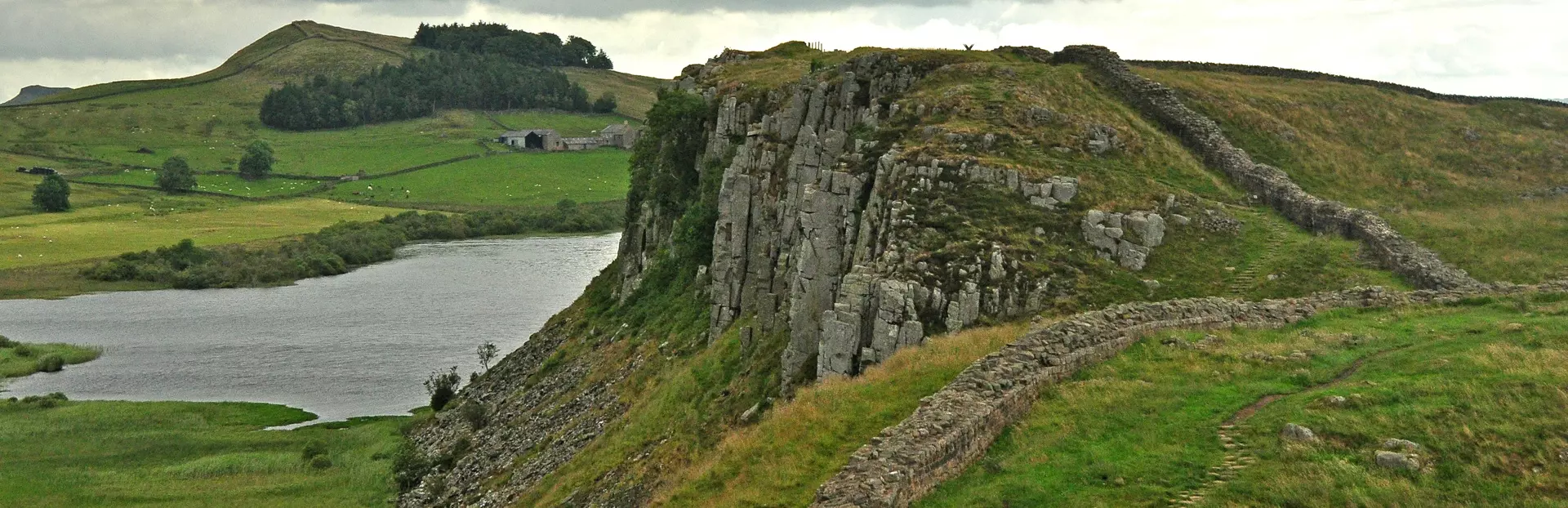
Hadrian's Wall is one of the ancient world's most ambitious construction projects, an 80-mile stone curtain built to mark the northern edge of the Roman Empire. On this walking tour, you'll follow a six-mile section of the Wall through the Northumbrian landscape, from a buried Roman fort to one of the Wall's best-preserved garrison strongholds. You'll also hear how soldiers, native Britons, medieval bandits, and Victorian antiquarians each left their mark on this extraordinary monument.
The tour starts at Carrawburgh, site of the Roman fort Brocolitia, where a thousand auxiliary soldiers once kept watch over both conquered and unconquered territory. From there, you'll visit a remarkably preserved underground temple to the Persian god Mithras, whose secretive initiation rites made it one of the Roman military's most exclusive brotherhoods. You'll also pass the site of Coventina's Well, a sacred spring where over 13,000 coins were thrown as offerings – and where deliberate flooding by the last priests helped preserve the ruins for archaeologists centuries later.
As the route climbs onto the volcanic sill that gives this landscape its dramatic ridgeline, the Wall's foundations emerge from the earth, and you'll begin to see milecastles, turrets, and defensive ditches in their proper relationship to one another. Along the way, you'll hear W.H. Auden's poem about a homesick Roman soldier, and encounter three separate King Arthur legends tied to specific spots on the route. The tour ends at Housesteads, the Roman fort of Vercovicium, perched on a high escarpment with sweeping views north into what was once enemy territory.
On this 180-minute tour, you'll have a chance to:
- Explore the Temple of Mithras at Brocolitia, one of the best-preserved examples on the Wall
- Hear how the Vallum – a massive southern ditch – regulated the military zone along the Wall's entire length
- Walk through Milecastle 35, built without a northern gate because the ravine made one pointless
- Learn how the Busy Gap served as a lawless crossing for bandits raiding between England and Scotland
- Discover Bronze Age earthworks predating the Romans at King's Wicket
- See how Victorian landowner John Clayton saved the Wall from total destruction by buying up the land
This is a walk through one of Britain's great landscapes, with two thousand years of history underfoot at every step.
Tour Producer
 Tour Producer

Gary Devore

My name is Gary Devore and I am both an archaeologist and author. I have taught at universities in the United States and in the UK, and have led archaeological excavations at Roman forts in Britain and the ancient Italian city of Pompeii. I now teach classes online for Stanford University and write novels and short stories from a house I built in the woods of New Hampshire. My academic interests include Roman art, archaeology, and history. I have a long association and great interest in Hadrian's Wall and its associated archaeological sites. I consider Northumberland and Cumbria two of the most beautiful and striking areas of the UK and return as often as I can. I have a website for all contacts (including commission work) at garydevore.com and although I unfortunately share a name with a Hollywood screenwriter who died mysteriously in 1997, you can easily find my fiction and academic work with some online searching. I love hearing from anyone who enjoyed my audio tours on VoiceMap!
Save with audio tour passes
How do passes work?

Preview Location
 Preview Location
Location 34
Busy Gap (The King's Wicket)
There is a gate and a ladder-stile in the field boundary wall on your right, but don’t use them. We’ll stay on this side of the wall, on the path. But have a look at the opening while I t...
 View locations and route

How VoiceMap Works







Major Landmarks
 Major Landmarks
-
Hadrian's Wall

-
Brocolitia Roman Fort - Hadrian's Wall
-
Milecastle 33
-
Turret 33b - Hadrian's Wall
-
Milecastle 34 - Hadrian's Wall
-
Turret 34a - Hadrian's Wall
-
Sewingshields Crags - Hadrian's Wall
-
Knag Burn Gateway
-
Housesteads Roman Fort - Vercovicium - English Heritage Site
-
Housesteads Visitor Centre
Getting There
 Getting There
Route Overview
-
Start locationHadrian's Wall Walk, Carrawburgh, Newbrough NE46 4DB, UK
-
Total distance9km
-
Final locationNear, Hexham NE47 6NN, UK
-
Distance back to start location8km


Directions to Starting Point
Start the tour in the carpark of Carrawburgh along the B6318 road (8.8 miles west from the Chollerford roundabout or 7.3 miles east from Once Brewed Youth Hostel / The Sill). Coventina's Well is next to parking lot.
GPS co-ordinates: 55.035632, -2.220432
PLEASE NOTE: If it is between 25 March and 25 September, you should be able to take an hourly bus back to Carrawburgh from Housesteads if you want to return to your start point. Otherwise, you may need to walk the 5 miles back, or arrange a ride.
 Show Directions



Tips
 Tips
Tips
Places to stop along the way
There is only nature along the way, no toilets or cafes. So make sure you're prepared to walk the 5 miles through the Northumberland landscape.
Best time of day
The tour will probably take around 3 hours, depending on how fast you walk, so aim to start well before sunset. Leave another hour or so and the end if you want to visit Housesteads, where I have another tour that will show you around the ruins of the fort called 'Hadrian's Wall: Housesteads'. You can find it on the app.
Precautions
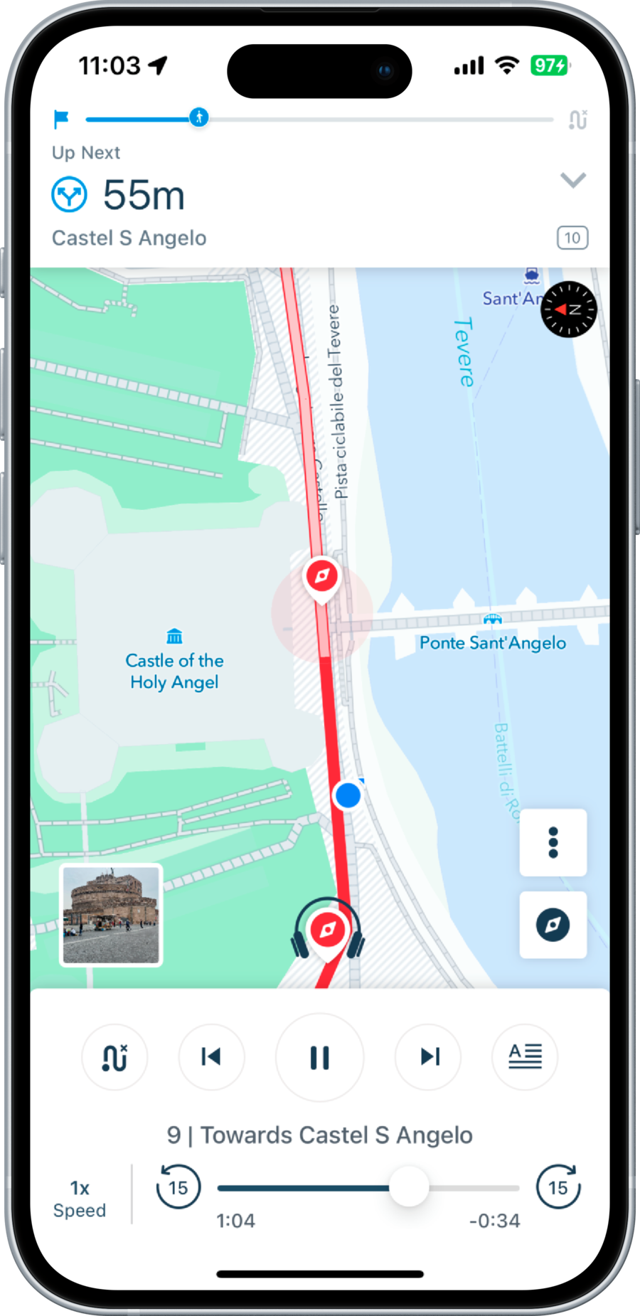
Make sure to bring a fully-charged phone with you! The VoiceMap app will use GPS to play the tour as you go, syncing with your position.
Get The App
 Get The App




Scan to get app
Download the app for free
VoiceMap




 App of the Day

 Editor’s Choice


 Last Updated
 Questions and Reviews